A colder winter? La Niña could bring European temperatures down

If La Niña does arrive, it will follow an unstable summer caused by El Niño’s effects.
After mounting speculation that a La Niña event could occur this autumn, the National Oceanic and Atmospheric Administration’s Climate Prediction Centre has confirmed there is a 60 per cent chance that it could develop – and last until March.
La Niña is part of a natural climate cycle, but like El Niño, it can cause extreme weather across the globe.
It occurs when sea surface temperatures in the central and eastern Pacific Ocean drop below average. Effectively, it’s the exact opposite of the warm El Niño phase.
Both La Niña and El Niño can have widespread impacts on global weather patterns, including those in Europe, although they can vary hugely the further away from the Pacific a place is.
The distance means that the impacts of the phases can be easily disrupted by local weather patterns, and that makes their exact effects in Europe difficult to anticipate. No two events are ever completely the same.
What impact could La Niña have on Europe’s winter this year?
Earlier this month, experts at the World Meteorological Organisation Predicted a high chance of La Niña conditions emerging between October and February.
Scientists say this winter will likely see a weak to moderate strength event, with the phenomenon possibly weakening early in 2025.
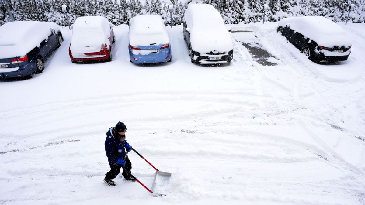
In general, La Niña brings colder than normal temperatures across western Europe. Forecasters are expecting that temperatures will drop on the continent as we head towards November and December.
It also tends to bring wetter and colder conditions to the Alps, which can lead to more frequent and heavier snowfall. With a lack of snow in numerous resorts forcing closures, La Niña could be a welcome event for some.
Elsewhere in Europe, there is usually less snow and northwest and southeast countries tend to be drier than usual, while southwest nations will likely see more rain.
Earlier in October, parts of western and central Europe were hit by the tail end of several storms coming off the Atlantic.
Now, France, the UK and Scandinavia are set to be the coldest regions from October, with temperatures likely to be lower this winter than they were last year.
However, some meteorologists believe that, due to the La Niña phenomenon, they may still overall be warmer than long-term averages.
What is La Niña and how common is it?
La Niña, the cool phase of the El Niño Southern Oscillation, sees changes in wind and ocean temperatures in the Pacific and sees trade winds intensify and cold water from the depths of the ocean rise up.
The result is cooler than average ocean temperatures in the eastern Pacific, which affect the position of the jet stream, a thin band of fast moving air flowing from west to east around the globe, and push it northwards.
This jet stream then sits over the ocean and can use its moisture to boost precipitation as well as influence the path that storms take.
From 2020 to 2023, the earth experienced a so-called ‘triple dip’ La Niña event, the first since 1973 to 1976.
Scientists, though, say it’s not entirely surprising, given that La Niñas tend to last longer and be more recurrent than El Niño events.
What is the link between La Niña, El Niño and climate change?
While some scientists say the link between climate change and La Niña and El Nino is not entirely clear, it is certainly intensifying weather extremes globally.
In recent years, rainfall has become more variable – deviating from historical averages and expected patterns.
The increase in greenhouse gases caused by the unabated burning of fossil fuels has also increased the frequency and intensity of extreme weather events, according to a report by the Intergovernmental Panel on Climate Change (IPCC).
Climate scientist Paul Roundy suggests that computer models find it hard to differentiate between normal variation in the El Niño and La Niña phases from climate change’s warming influence on the oceans and atmosphere.
“I would not infer from that that climate change isn’t actually causing more El Niño emergence,” Roundy told the AP news agency, “It’s just that nature itself has such strong swings on its own. So we can get multiple La Niña events, and maybe in 40 or 50 years we’ll be seeing the opposite.”
World News || Latest News || U.S. News
Source link


